Category Archives: Seminars

CDISE Seminar: Topic-Aware Reviewer Assignment Problems

Thursday, 26 May 2016

12:00 – 1:00pm in Room 407
Prof. Leong Hou U, University of Macau

Topic-Aware Reviewer Assignment Problems

In this talk, I will first focus on an assignment problem that addresses the peer reviewing process at academic conferences and journals. As we may know, achieving an appropriate assignment is not easy, because all reviewers should have similar workload and the subjects of the assigned papers should be consistent with the reviewers’ expertise. In this work, we propose a new group assignment of reviewers to papers, which is a generalization of the classic Reviewer Assignment Problem. We show the NP-hardness of the problem and propose a 1/2-approximation solution. In the second part, I will introduce other research work of my research group in University of Macau.

CDISE Seminar: Change-points and Anomalies Detection in Software-Intensive Systems

Prof. Evgeny BurnaevWe are happy to invite you to the next CDISE seminar by Prof. Evgeny Burnaev (Institute for Information Transmission Problems), titled: “Change-points and Anomalies Detection in Software-Intensive Systems​”

24 May 2016, 13:00pm
Skolkovo Innovation Center
Technopark, Building 3, Room 407

Abstract
As contemporary software-intensive systems reach increasingly large scale, it is imperative that failure detection schemes be developed to help prevent costly system downtimes. A promising direction towards the construction of such schemes is the exploitation of easily available measurements of system performance characteristics such as average number of processed requests, queue size per time unit, etc. In this presentation, we describe a holistic methodology for detection of abrupt changes in time series data in the presence of quasi-seasonal trends and long-range dependence with a focus on failure detection in computer systems. We propose a trend estimation method enjoying optimality properties in the presence of long-range dependent noise to estimate what is considered “normal” system behaviour. To detect change-points and anomalies, we develop an approach based on the ensembles of “weak” detectors. We demonstrate the performance of the proposed change-point detection scheme using an artificial dataset, the publicly available Abilene dataset as well as the proprietary geoinformation system dataset.

Non-Skoltech attendees should contact for access to the building.

Seminar schedule and information can be found at http://crei.skoltech.ru/cdise/seminar/.

Seminar: “Challenges and Benefits of Strategic Research Partnerships : Polytechnique Montreal Perspective”

We are pleased to invite you to the seminar “Challenges and Benefits of Strategic Research Partnerships : Polytechnique Montreal Perspective”, by Dr. Cristophe Guy, CEO, École Polytechnique of Montreal. 

ristophe GuyAbout the Speaker
Dr. Christophe Guy holds an engineer degree and a doctorate in chemical engineering. He is Chief Executive Officer of Polytechnique Montréal (www.polymtl.ca/en). Polytechnique Montréal is one of the largest engineering schools or faculties in Canada with about 8200 students and an annual budget (excluding research) of more than 140 M$. Polytechnique offers degrees in a wide range of engineering fields, from the engineer diploma to the Ph.D. With more than 80 M$ per year in research funding, Polytechnique is one of the top Canadian universities active in engineering research especially in collaboration with industry.

Dr. Christophe Guy will share an experience of Polytechnique Montréal in
university-industry collaboration and research programs.

Seminar Abstract

Research universities have a strong responsibility: creating knowledge and transferring it to Society while training students to be agents of progress in Society when they graduate. Polytechnique Montreal supports and encourages entrepreneurship among students, works closely with industrial collaborates for the development of new products and technologies and makes sure, that innovations and discoveries are transferred to its spin-offs and start-ups or to industrial partners.

Over the years, Polytechnique Montreal has developed research and development relationships with large international groups, which go beyond traditional research projects and contracts. They are based on industrial research chairs or centers, which involve a close partnership with the company or consortium of companies. To be successful, not only does science and research must be excellent, but the understanding of the expectations of each partners must be thorough, the IP, publications rights and non-competition agreements must be precise and the future commercialization revenue shares must be defined for all parties including involved graduate students. In addition, the university should be fully committed to these partnerships.

Some university-industry research programs presently under way at Polytechnique Montreal will illustrates the challenges and opportunity facing both university and private partners.

Refreshments will be provided.

Non-Skoltech attendees should request access to the building in advance by sending their passport details to

CDISE Seminar: “Novel Single-Source Integral Equation for Solution of Electromagnetic Scattering Problems on Penetrable Objects”

Prof. Vladimir OkhmatovskiSkoltech Center for Computational Data-Intensive Science and Engineering (CDISE) is pleased to invite you to a seminar by Prof. Vladimir Okhmatovski (University of Manitoba), titled: “Novel Single-Source Integral Equation for Solution of Electromagnetic Scattering Problems on Penetrable Objects”.

Abstract

A new Surface–Volume–Surface Electric Field Integral Equation (SVS-EFIE) is discussed. The SVS-EFIE is derived from the volume integral equation by representing the electric field inside the scatterer as a superposition of the waves emanating from its cross section’s boundary. The SVS-EFIE has several advantages. While being rigorous in nature, it features half of the degrees of freedom compared to the traditional surface integral equation formulations such as PMCHWT and it requires only electricfield-type of Green’s function instead of both electric and magnetic field types. The latter property brings significant simplifications to solution of the scattering problems on the objects situated in multilayered media.
The SVS-EFIE equation has been developed for solution of 3D scattering problems on general penetrable objects. The SVS-EFIE has been also been applied to the solution of the quasi-magnetostatic problems of current flow in complex interconnects in both homogeneous and multilayered media. Detailed description of the method of moment discretization and resultant matrices is discussed. Due to the presence of a product of surface-to-volume and volume-to-surface integral operators, the discretization of the novel SVS-EFIE requires both surface and volume meshes. In order to validate the presented technique, the numerical results are compared with the reference solutions.

Non-Skoltech attendees should contact for access to the building.
Seminar schedule and information can be found here.

Seminar: “A Robust Framework for the Fused Spatial Information for Enhanced Earth and Space Analysis/Activities”

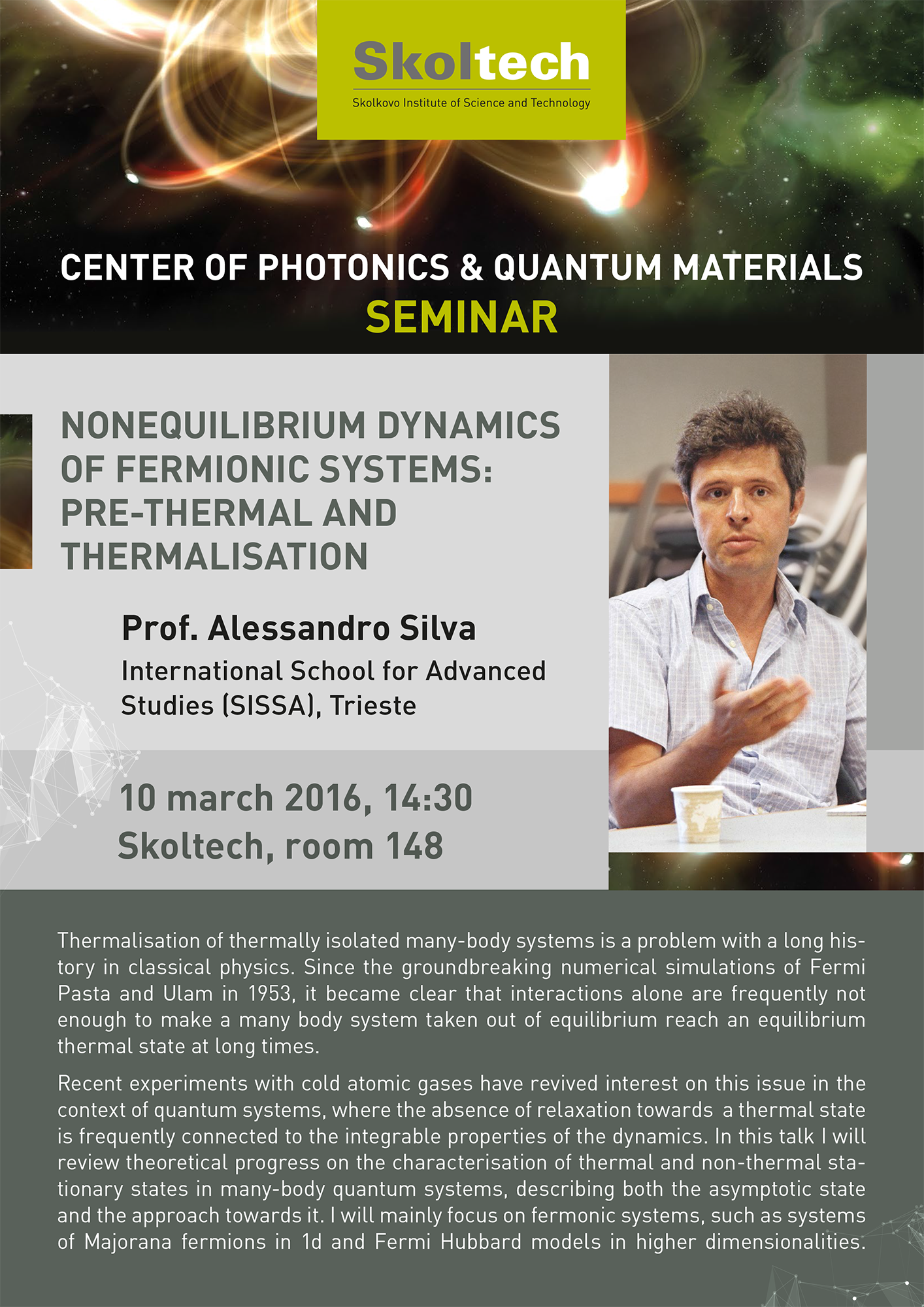
We are glad to invite you to a seminar by Prof. Tomaž Podobnikar, titled “A Robust Framework for the Fused Spatial Information for Enhanced Earth and Space Analysis/Activities”

Seminar abstract

The (geospatial) data and derived information are becoming a currency of the 21th century. The quantity of digital spatial data is rapidly increasing. Earth observation (EO) and planetary spatial data are provided by a series of satellites at high spatial, spectral, and temporal resolution, revolutionizing the market of spatial and space applications. There are also other older data sources acquired with various techniques, such as data from topographical maps, geodetic measurements, photogrammetry, etc.

However, the methods for data processing very rarely consider available data sources with their geometric and semantic value, and different methods in order to considerably improve quality and reduce the cost of the datasets and the derived models, what is an important issue for my research.

The background of my research vision is to use a number of present spatial data. For that, I have a strong background in developing supporting methods such as generic Multidirectional Visibility Index (MVI) initiated for the planet Mars study. I have already produced a high accuracy digital terrain model (DTM) of Slovenia and its surroundings with a resolution of 12.5, 25 and 100 m. It based on my own methodology of positional and semantic data conflation (integration/fusion) from multi-source data of different quality. This model is still regarded as the national standard and is publicly available. The DTM 12.5 was integrated into both the European model and into improved Google Earth model. Later on, I have also proposed and applied a multimethod methodology for high-resolution lidar DTMs production.

My proposed methodology can generate any kind spatial model (e.g. DTM, land-use change model) on the basis of a large quantity of multi-sourced data sets and multimethod principles. My aim is to propose a novel methodology that includes contextual principles for spatial data processing, generalization and multi-scale techniques, visual analytics, quality management, and near-universal principles. The framework is going to be realized as a platform (service, desktop application software, productivity tools). According to the trends of technology development, my framework has a unique design with no world analogy.

Speaker introduction

Tomaž PodobnikarCurrent position: Associate Professor, University of Ljubljana

Education, habilitation: PhD, Associate Professor, Scientific Councilor (Research Advisor)

Career: >20 years professional experiences; worked for 11 academic, governmental, NGO, and consulting organizations in 7 countries; awards and prizes as researcher and teacher

Experiences: >540 citations, R&D, teacher, supervisor, trainer, consultant; project manager in 17 and contribution in >70 international projects; teams leader (head of department); multidisciplinary and multicultural experiences

Specialization and skills: geoinformatics, geomatics, GIScience, engineering, environmental and social sciences, space research; IT, GIS, remote sensing, geospatial analysis, geomorphometry, cartography, environmental geography, palaeoenvironmental analysis, spatial modeling for conservation (environment, cultural heritage), landscape archaeology, spatial data quality and information management, (geo)spatial data interoperability, geovisual analytics, (geo)spatial modeling, reasoning and decision making, multimethod research, (geo)spatial thinking and participatory concepts, database management, geodetic measurements.